

Climbing out of town - more switchbacks. A view of the town from one of the loops.
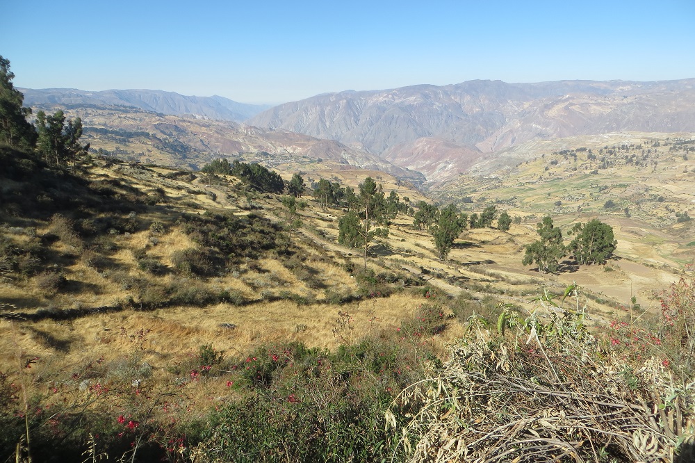
Down the valley - this is rugged country. I'm amazed at all the rock fences and terracing.

I've been watching for birds, but never seem to get a good shot of any. Here's one with a prominent red patch on it's neck. A cousin of the flicka, perhaps?

And for the botanists, a honeysuckle-looking flower

The lunch truck parked beside a restaurant. Here's the mascot (a possibly a future dinner special?)
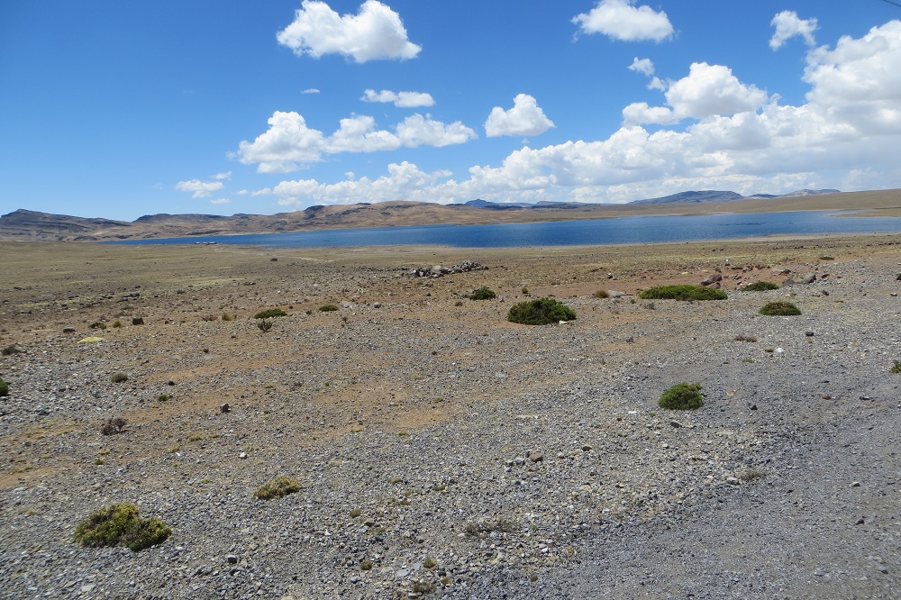
The top of our ride and our camp are on the Antiplano (High Plateau). Here's a lake, well above the treeline.

A shot of my GPS, at the highest point I reached. Full disclosure, the riders are having a running discussion about what our actual elevation is. The variance between various GPS units is up to 200 meters (and I'm usually high). Even if my reading is 100 meters or so high, we are still way up there. By far the highest we have ever been, let alone biked.

Here's our camp. The ominous looking clouds are NOT rain clouds. Luckily, no snow.
As soon as the sun went down, everybody got cold and out came the down jackets. Between altitude and cold, a number of people suffered. Lots of headaches (including Laura with a doozie), no energy, shortness of breath and generally cold. We were actually not too bad in our little 2 person tent, although the tent fly was frozen in the morning.
No comments:
Post a Comment